2015 New Year Resolution

DSCN0042 Jonah was given an opportunity to do something for God. He was tasked with preaching to the people of Ninevah. He refused, ran the opposite way and boarded a ship to Tarshish.

Paul was also given an opportunity to do something for God. He was tasked with preaching to different cities in Asia Minor and points east. Paul accepted this responsibility and boarded a ship in Caesarea to fulfill his mission.

The attached picture is of a sunset over the Mediterranean Sea. No doubt, both Jonah and Paul saw a similar scene as they set out on their journeys. Jonah's journey ended in personal embarrassment and God's disappointment. Paul's journey ended in God's message being spread across the entire region.

As you begin 2015, resolve to accept God's requests of you without question. You can not predict the opportunities that God will present to you this year. Just accept them. Good will come from them.

You can also read 2013's and 2014's New Year's Resolutions.

Walking The Land

israel-national-trailThere is almost no down side to visiting Israel. For those of us who are students of Bible, it gives us the opportunity to actually see the locations that we have read about so many times. However, even being over there, it is easy to get a false impression. That is because we travel in nice, air-conditioned motor coaches and only on rare occasions leaving it for more than an hour.

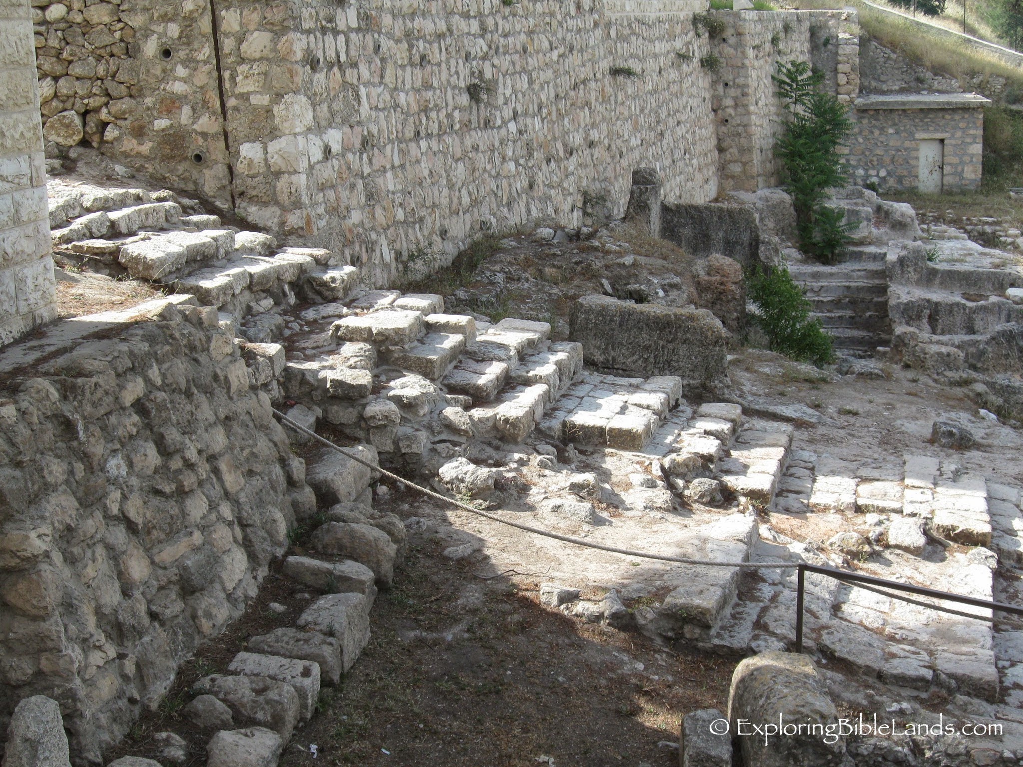
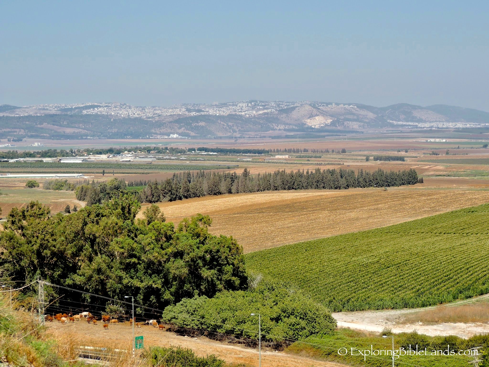
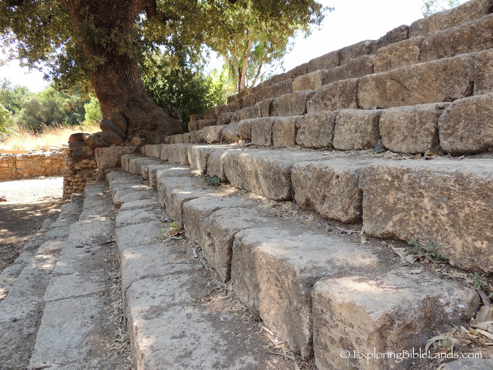
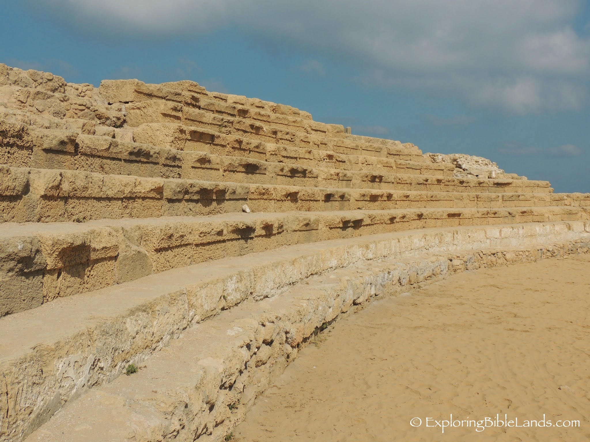
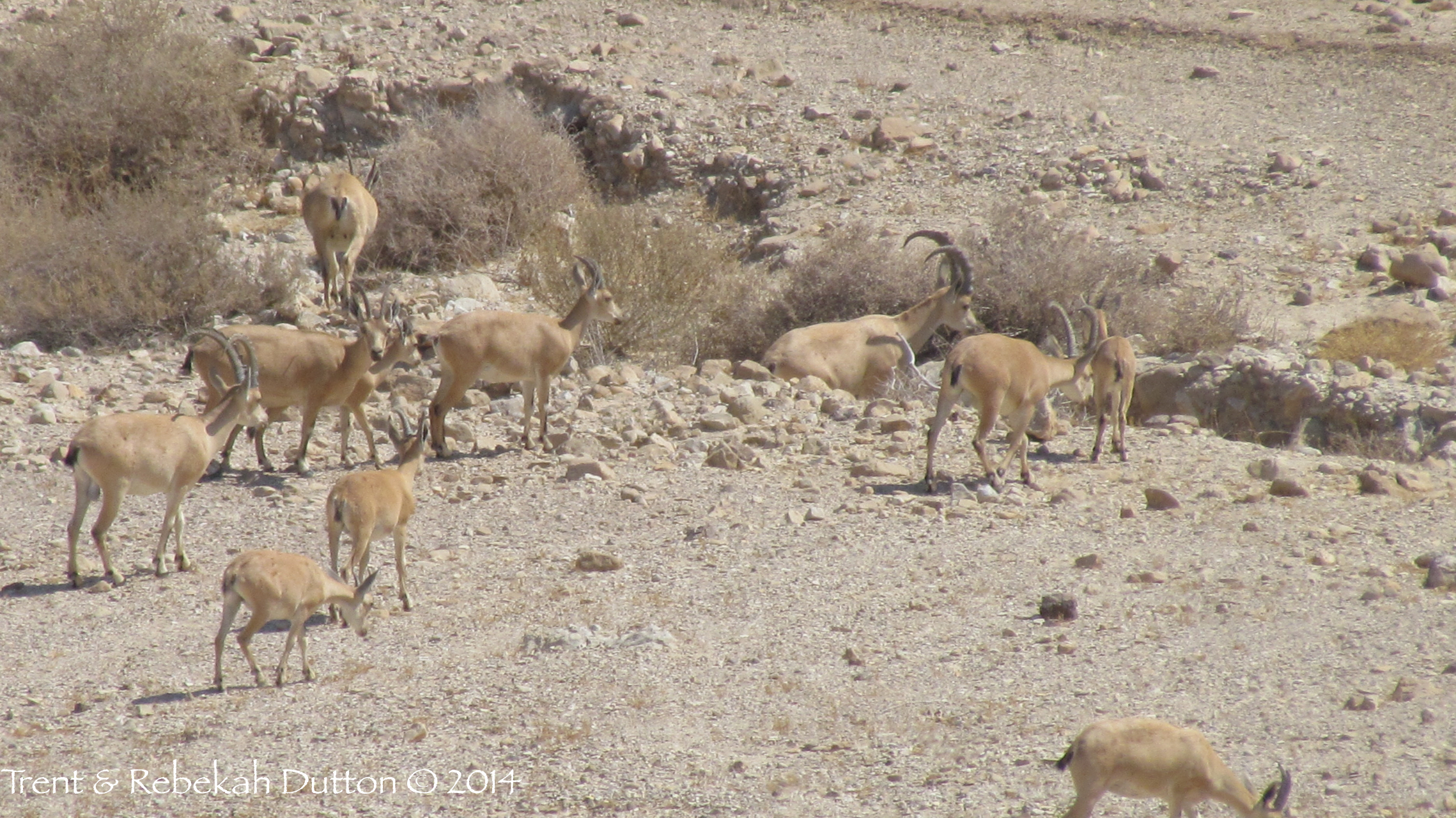
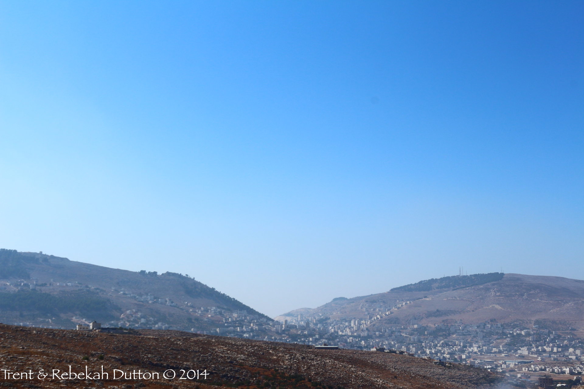
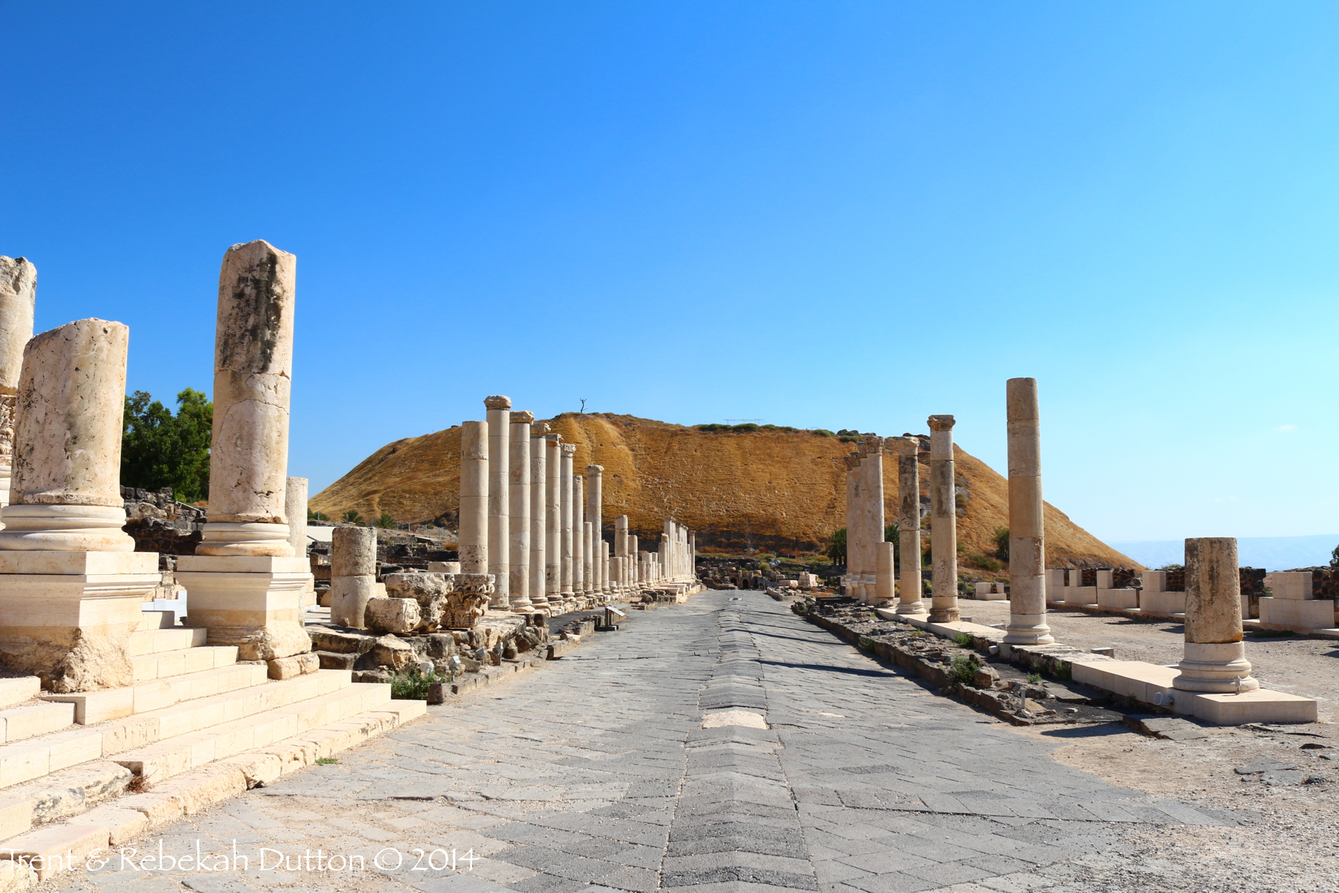
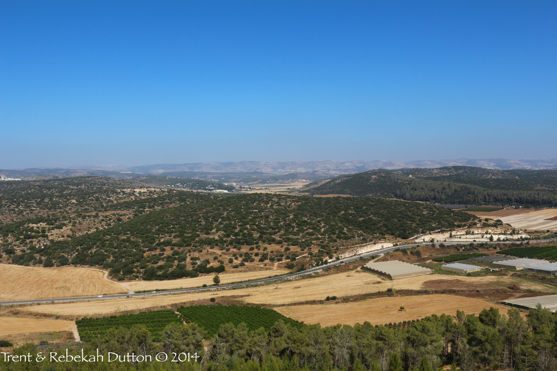
Obviously, that is not how the characters of the Bible experienced the land. They walked on it. Every hill and valley takes on a totally different perspective if you are crossing it on your own two feet.

Earlier today, I read a great article by Matthew Karsten. He recently walked part of the Israel National Trail (INT). (The pictures in this story are fantastic!) The INT winds its way over 600 miles from Eliat to Dan. It crosses deserts, wadis, mountains, valleys, plain and even walks along the coast. As you can tell from the article, the land of Israel varies greatly within such a small area.

In my dreams, I would love to hike the entire trail. However, reality sets in and I know that taking that much time to hike the trail will probably not be possible. But, I do have a goal of hiking the Jesus Trail. That trail is about 60 miles and goes from Nazareth to Capernaum. This is definitely on my "bucket list" and one that I will do at some time. (Let me know if you would like to join me!)

I have previously posted about different people hiking these trails. I encourage you to read "Walk the Land", written by Judith Pex. Her and her husband live in Eliat and hiked the entire Israel National Trail. Also, you should read Larry Haverstock's blog. He is a friend of mine that hiked the Jesus Trail a few years ago.

Both of these trails allow you to experience the land of Israel in the very same way that many of the Biblical characters experienced the land.

Rolling Stone Tomb

IMG_1841 A few years ago, the Israel Highway Department was digging in a hillside to widen Highway 6953 near Megiddo. In doing so, they hit an extremely large boulder. With more digging, they realized that they an unearthed an ancient rolling stone tomb. This tomb has four inner chambers. (The two that you can see were cut into by the excavation equipment before the realized what they had discovered.) This picture was taken in 2010. Since that time, the highway department has installed a guard rail in front of the tomb. While the guard rail does a great job of protecting the tomb, it makes taking photographs of it difficult.

This will be our last "Photo of the Day" for a week or so while we take some time off during the holidays. We hope that these pictures have been beneficial in helping you understand the Biblical text.

First Century Steps

IMG_2816 Maps are good things. But because maps are two-dimensional, they do a terrible job of helping the user understand the changes in terrain. The city of Jerusalem is actually very hilly, even more so in the First Century. Today's picture is of some First Century steps that led from the lower city to the upper city. It is very possible that Jesus went up and down these steps on the last couple of days before he was crucified.

The Senir River

DSCN0332 Some of the snow that falls on Mount Hermon eventually melts and emerges through a spring in Banias (ancient Caesarea Philippi). The water from that spring forms the stream Nahal Senir (pictured) and travels several miles before joining the Jordan River. The water from the Jordan River will then flow about 50 miles before entering the Sea of Galilee.

Nazareth in Galilee

DSCN0183 Jesus grew up in a very small town in the hills of Galilee named Nazareth. From Nazareth, you could have looked south across the beautiful Jezreel Valley and watch groups of people travel along the Via Maris. Today, the city of Nazareth is much larger but still has a wonderful view and is great place to live.

Synagogue in Nazareth

DSCN0243As Jesus began His ministry, He went to his hometown of Nazareth and taught in the synagogue. His message was not received as He had hoped and went and taught at other places. In the modern city of Nazareth, a group of people have constructed a small village that has the "look and feel" of the First Century. This picture was made of the reconstructed synagogue. The synagogues that the early disciples met in were probably very similar to this.

Sheba's Last Stand

DSCN0327About an hour's drive north of the Sea of Galilee, you come to this large tel just south of the border with Lebanon. This tel is Abel Beth Maacah. Joab, commander of David's army, pursued a man by the name of Sheba to this city. When faced with seeing her city destroyed, a wise woman made a deal with Joab. She convinced the inhabitants of the city to give up Joab and toss Sheba's head over the city wall and in return, the city was spared. When you visit Israel, you can drive around most of this tel and understand what a beautiful location it was for a city.

Jeroboam's High Place at Dan

DSCN0382Soon after the fall of the United Kingdom, the nation divided into the Southern Kingdom of Judah and the Northern Kingdom of Israel. As king of Israel, Jeroboam did not want the people to travel back to Jerusalem during the year to attend the feasts. Therefore, he established two places for them to worship, one at Bethel and the other at Dan. The High Place that Jeroboam built at Dan has been found and you can visit it today. These steps lead up to the platform where the golden calf would have been placed.

Caesarea Maritima Inner Harbor

DSCN0121 Among King Herod's building projects was a huge harbor in the city of Caesarea Maritima. It actually consisted of two harbors, an inner harbor and outer harbor. It was common for boat passengers to board a smaller boat in the inner harbor which would transport them to the larger boat in the outer harbor. The apostle Paul used this harbor a number of times during his missionary journeys. (Over the centuries, silt has filled in the inner harbor. Now, as a way of protecting the harbor, the Israel National Park Service has allowed grass to grow in this area. When visiting this site, it is very common to see families eating a picnic lunch on this grassy area.)

Herod's Swimming Pool

DSCN0093 In Caesarea Maritima, Herod built a fairly large palace that extended out into the Mediterranean Sea. The westernmost section of the palace contained a fresh water swimming pool, which is still visible today.

Caesarea Maritima Hippodrome

DSCN0107 For the rest of this week, we will feature a few pictures from the First Century Roman administrative city of Caesarea Maritima. During Roman times, it was common for many cities to have a hippodrome. The name is derived from the Greek words hippos (ἵππος; "horse") and dromos (δρόμος; "course"). It was commonly used for horse and chariot racing. These seats are on the southern end of the hippodrome in Caesarea Maritima and would have been adjacent to the beautiful palace built by King Herod. While Paul was imprisoned in the palace for two years, he would have been able to hear the crowd in the hippodrome cheering on the competitors.

On The Sea

IMG_1923 When you visit the Sea of Galilee, you are immediately struck at what a beautiful place it is. It is not surprising why the early disciples chose this location as a place to live. This picture was taken on a boat looking south to the area where the lake empties into the Jordan River.

Wheat Fields

IMG_1979 Throughout the Old Testament, we read accounts of people growing and harvesting wheat. Even thousands of years later, this practice still takes place today. This picture was taken in the Harod Valley just southeast of the Hill of Moreh.

Qumran Ibex

5_Ibex_Herd_Qumran_Day5 Just as the Rock Badgers from Ein Gedi, another denizen of the Wilderness of Judaea and Dead Sea region is the ibex.  This herd of ibex were strolling around below the cliffs at Wadi Qumran, where the Dead Sea Scrolls were found.

Bethshean Fortifications

4_BeitSean_IsraeliteFortifications_Day4 We mentioned on Tuesday that Beth Shean’s history covers an enormous expanse of time.  During the Iron Age, Israel possessed Beth Shean for some time, and fortifications such as this one are thought to belong to this period.  One can see the immense territory this lookout could cover, with this view showing the detail of the top of the tel, but also showing a view into and across the Jordan Valley.

Mt. Gerizim and Mt. Ebal

3_MtGerizim_MtEbal_Shechem_Day3 A view not often seen on a typical tour of Israel is that of Mt. Gerizim (left) and Mt. Ebal (right), looking west at their profiles.  From this angle, one can see their proximity, illustrating how two halves of one great nation could face one another on each mountain to deliver the blessings and the curses.  These mountains can most commonly be seen on the North-South highway approaches to the modern day city of Nablus, which contains the ancient site of Shechem.

Bethshean

2_BeitSean_Day2 We have recently mentioned Bethshean from the perspective of Mt. Gilboa.  This is a view from ground level just below the tel, from the Roman Cardo Maximus.  Once an Egyptian governor’s seat during the Middle Bronze Age, Beth Shean would change hands often, eventually moving from the main tel to the fully Romanized city below—due mainly to its strategic location in the Jordan Valley.

View of Elah Valley from Azekah

1_Azekah_ViewofElahValley_Day1 As with so many views from high points or tels in Israel, much can be packed into one landscape.  This view from Azekah is significant enough itself, but from here looking east and slightly southeast, you can see the Elah Valley just beyond the road and green hill below.  To the right of the valley is Sochoh, on the left is Khirbet Qeiyafa, of much Biblical Archaeology fame and debate over the past few years.  Azekah, Sochoh, and the Elah Valley all feature in the account of David and Goliath (I Samuel 17).

Filled Wadis

A few days ago, Ferrell Jenkins wrote a post about the flooding that was taking place in the area of Qumran. These floods are the results of some strong winter storms that the country is experiencing right now. Heavy rains that fall in the Central Mountain Range quickly collect and overflow the dry river beds (wadis). Yesterday, Israel National News posted a video on YouTube of some of the filled wadis from the recent rain. (If you notice, they entitled this video "Blessed Rain of Israel". These type of rains are not a problem. They are a blessing.)

As you read the Bible, you'll notice that travelers of this land knew when to travel and where to travel. They understood the land and knew what could happen quickly during different times of the year.