Viewing entries tagged
Valley of Elah

Why Study Biblical Geography? Part II

elahIn my last post, I discussed the first of three reasons why I study Biblical geography. In that post, I mentioned that the first reason was: I study Biblical Geography to better understand God's people. In this post, I'll discuss the next reason. Which is:

Reason #2: I study Biblical Geography to better understand God's Word.

If I were to ask you to tell me the story of 1 Samuel 17, more than likely, you would relate a story to me similar to this: "There was a Philistine giant named Goliath that came out and taunted the Israelite army for 40 days. Finally, a shepherd boy named David agreed to fight Goliath. David, founded by a solid faith in God, took five stones from the brook and approached the giant. He then took out a stone and slung it. The stone struck the giant in the head and he died. It was a glorious victory for Israel."

If you would answer my question like that, you would be like nearly everyone else. However, that is not the way that the Bible tells the story. The Bible describes Goliath beginning in verse 4 and describes David beginning in verse 12. So, what is in the first three verses of that chapter? Well, let us read it.

Now the Philistines gathered their armies for battle. And they were gathered at Socoh, which belongs to Judah, and encamped between Socoh and Azekah, in Ephes-dammim. And Saul and the men of Israel were gathered, and encamped in the Valley of Elah, and drew up in line of battle against the Philistines. And the Philistines stood on the mountain on the one side, and Israel stood on the mountain on the other side, with a valley between them. - 1 Samuel 17:1-3

This is a story about geography! Yes, there are important lessons to be learned about David and his faith in God. But to fully understand the importance of this battle, you have to understand the geography of the area! If you understand the geography (including the Coastal Plain, the Shephelah and the Hill Country), then the real importance of this battle can be understood! This is why the Bible gives such a high level of detail regarding the geography.

By understanding the geography, it helps you to better understand God's Word.

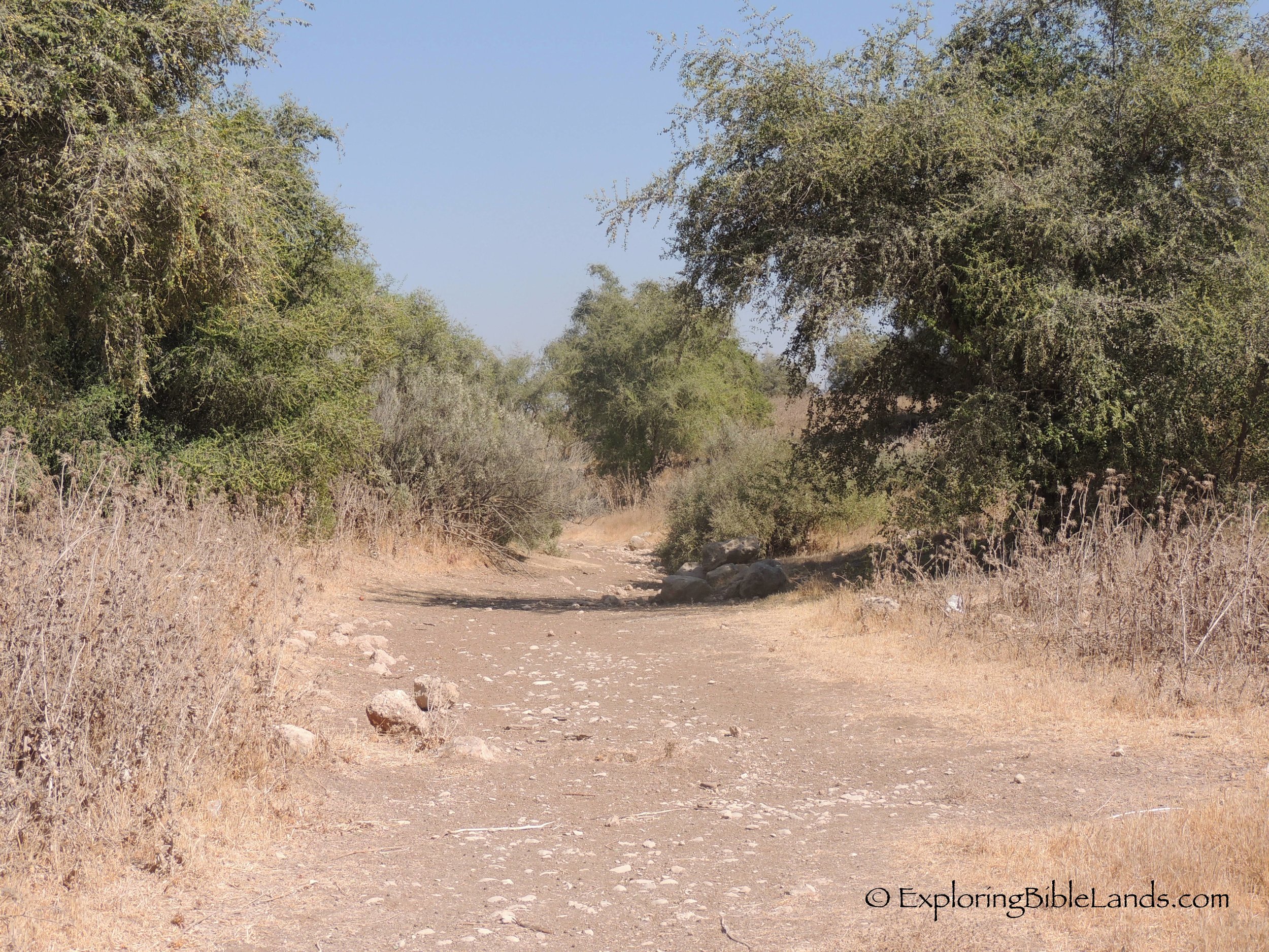
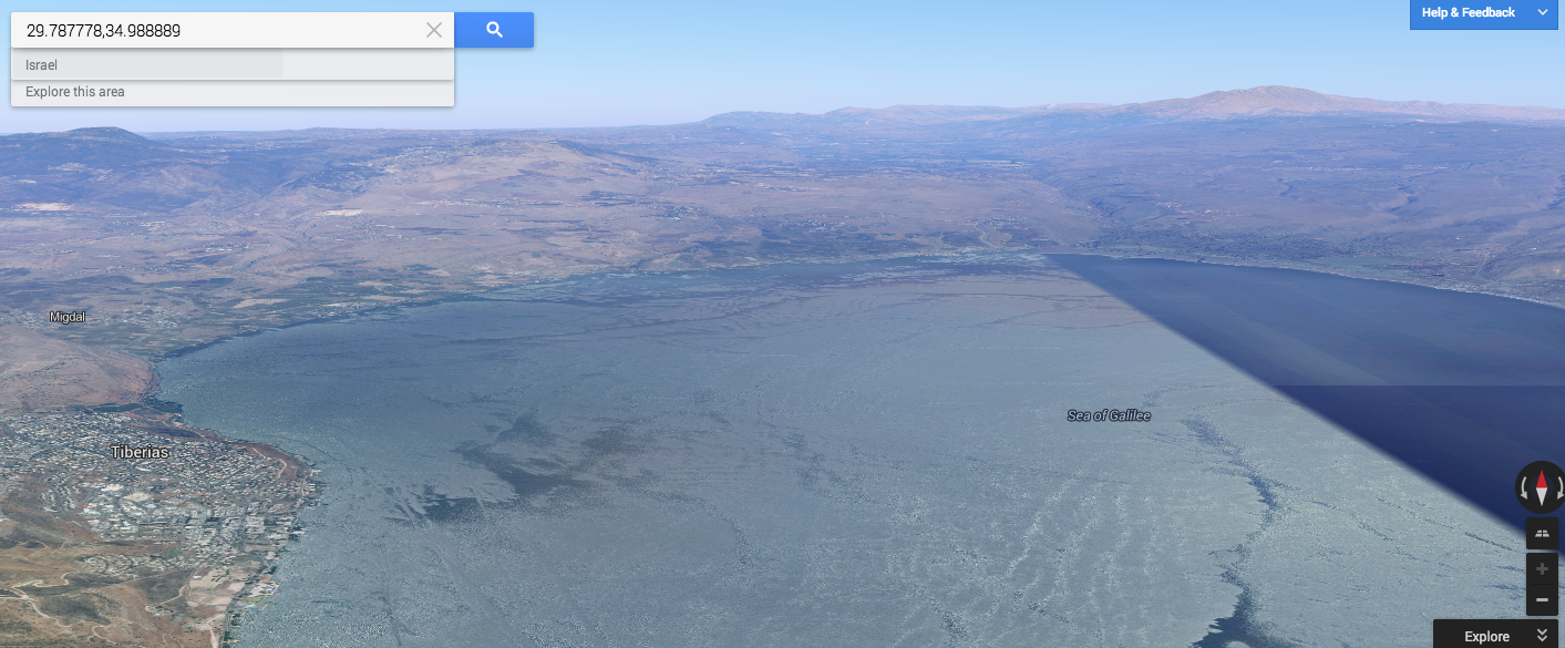
(NOTE: The picture at the top of this post was taken on my tour last year. They are walking in the brook that runs through the Elah Valley where David pulled his "five smooth stones".)

The Elah Brook

DSCN1571 As told in 1 Samuel 17, David went down into the brook in the Valley of Elah to gather stones to battle against the Philistine giant Goliath. In an ironic twist of fate, that same brook winds its way directly past the Philistine city of Gath (Goliath's hometown) about five miles to the west of the battlefield. It is a legitimate possibility that, as a boy, Goliath played in the exact stream where, many years later, his foe would gather ammunition which would eventually be used to kill him. This picture is of the dry river Elah wadi adjacent to the tel at Gath.

A Day In The Lowlands

A Day In The Lowlands

walking_men.jpg

The lands of the Bible in this region has four longitudinal zones. There is the Coastal Plain, the Central Mountain Range, the Rift Valley and the Transjordan Plateau. However, there are a few smaller areas sandwiched in between those primary zones. One of the is the Shephelah. The Shephelah is a small area within the land given to the tribe of Judah with a fertile, rolling plain. Even today, there are plenty of crops growing all over this region. For our interest on this tour, we are interested in the Biblical events that occurred in this area.

We started our day by driving to the Sorek Valley, the stomping grounds of the judge Samson. The site at the eastern end of this valley is Beit Shemesh. We stood at this site and could envision Samson tying the foxes together and setting the fields ablaze. Also, we could see the milk cows dragging and cart behind them carrying the Ark of the Covenant.

elahOur next stop was at the Valley of Elah. After you visit this beautiful valley, you will never read the story of David and Goliath the same again. I am continually impressed by the geographical accuracy of the Biblical writer in telling this story. We stood in the valley and reread parts of the story describing those details. Afterwards, everyone went down into the brook to pick up some "small smooth stones" to take home.

Lachish was next on our list. Seeing this site helps you understand its strategic importance. You can still see the siege ramp built by the Assyrians as they captured the city. The dig season for this site is going to be starting in about a week. We could see the people beginning to move equipment into place in the gate area. I look forward to hearing what they find.

beershebaAfter a bit of a drive, we found ourselves at Beersheba. This site sits on the northern edge of the Negev. This is a beautiful site and easy to walk around and see. They have built a tall tower to view the landscape and we had the opportunity to walk through the water tunnel.

Our final stop of the day was at Nebi Samwil, just north of the city of Jerusalem. From this vantage point, you can see the Benjamin Plateau and overlook the city of Gibeon. The sun stood still here at one time, but not today. We took our pictures and then headed toward the hotel.

Our tour is quickly coming to an end. We have one more big day tomorrow before heading to the airport to catch a late-night flight. As I type this, I can hear the songs of the evening call to prayer for the Muslims. And, I can look out my hotel window and see the Jewish people walking home after finishing their prayers by the Western Wall.

I'll try to post tomorrow night, but time and Internet availability my limit the opportunity. But, I'll be back online soon.

Shalom.

New National Park Possible

New National Park Possible

Screen-Shot-2013-05-23-at-3.35.03-PM.png

The area of the Shephelah is very interesting. It is mentioned a number of times in the Old Testament and is often called the "Judean Foothills". It is a series of lowlands with hills and valleys that stretches 10-15 miles wide between the Coastal Plain and the Central Mountain Range. During the time of the conquest, this land was allotted to the tribe of Judah. By the time of the United Kingdom, this land had become a buffer area between the mountains (where the Israelites lived) and the plains (where the Philistines lived). One of the east-to-west running valleys in the Shephelah is the Valley of Elah, which was the sight of the epic battle between David and Goliath.

Now the Philistines gathered their armies for battle. And they were gathered at Socoh, which belongs to Judah, and encamped between Socoh and Azekah, in Ephes-dammim. And Saul and the men of Israel were gathered, and encamped in the Valley of Elah, and drew up in line of battle against the Philistines. And the Philistines stood on the mountain on the one side, and Israel stood on the mountain on the other side, with a valley between them. - 1 Samuel 17:1-3

Recently, there has been some discussion about expanding some neighborhoods from the town of Beit Shemesh southward, possibly impacting the area around the Valley of Elah. I have been trying to follow this story closely in that I was not in favor of destroying the landscape around this site. Recently, there has been some wonderful excavations taking place at Khirbet Qeiyafa, which overlooks the valley. These excavations might have also been affected.

Luckily, it appears that a hold has been put in place on the neighborhood construction. In addition, they are considering protecting the area by making it a national park. (NOTE: You might have to use Google Translate to translate the web site from Hebrew to English.)

UPDATE: The article is now in English!

The picture at the top of this post is from Google Maps and is looking east down the Valley of Elah. From this perspective, the army of Israel would have been on the left ridge with the Philistines on the right. David slew Goliath in the valley near the stream bed. (NOTE: If you are reading this post from an email, you might to click on the title and go to the web page to see the picture.)

More Maps of the Bible Lands

Google-logo
I love good maps. I think that I might have mentioned that before. When I'm not reading my Zondervan Pictorial Bible Dictionary or Satellite Bible Atlas, I usually looking at Google Maps.

Well, Google Maps has decided to enhance their product just a little bit. About a week ago, I read a tweet from Google concerning their new version of the popular mapping program. Since it is still in beta, you had to sign up and wait for an invitation before getting in. Last night, I received my invitation. It walked me through a tutorial of some of the features. It was interesting, but I wasn't really interested in finding the best sushi restaurant in San Francisco.

I set my sight on the Bible Lands. And, I was not disappointed. While Google does not have the same quality of imagery of Israel and the West Bank as they do of the United States, I was still impressed. They also have a feature that will allow you to see the terrain the three dimensions. Which, in my opinion, makes this a valuable tool for your Bible classes or in your personal study.

Let me give you a few examples. (You can click on the images to see a larger version of the pictures.)

First, here is a view looking east across the Sea of Galilee. In the foreground you can see the Plain of Gennesaret, Mount Arbel and the city of Tiberias. On the eastern side of the sea, the terrain rises sharply as you go into the Golan Heights.

Google Maps image looking east over the Sea of Galilee.

In the second picture, we are again looking across the Sea of Galilee, but toward the north. You can see the city of Tiberias to your left, the Plain of Gennesaret and the northern shore where the city of Capernaum is located. You can follow the Jordan Rift Valley north from the Sea until you reach Mount Hermon far in the distance.

Google Earth image looking north across the Sea of Galilee.

Next, we have an picture of the western side of the Dead Sea. In the foreground, you can see Herod's fortress of Masada. For everyone that has been to Masada, you have probably stood on the northern end of the plateau and taken almost this exact same picture. (And, for those of you who have a mental image of the Dead Sea that appears to be "dead", think again. The water in the Dead Sea is really that color of blue.)

Google Earth image looking north along the western shore of the Dead Sea.

Finally, we have a picture looking east down the Valley of Elah. This valley is mostly known as the location where David slew the Philistine giant, Goliath. In the story, the Israelites were on the ridge on the left side of the picture, and the Philistines occupied the ridge to the right. Running through the middle of the valley is a stream, which is where the young David picked up his ammunition for his battle. The two warriors met in that valley.

Google Earth image looking east down the Valley of Elah.

I'm looking forward to finding other sites and seeing how they are depicted. While this is no replacement for seeing actual photographs or especially visiting these sites for yourself, it is a wonderful resource that should be used by every Bible student.

2012 Israel Trip - Day Eleven

2012 Israel Trip - Day Eleven

DSCN1503.jpg

Well, the trip has quickly come to an end. Our flight was scheduled to leave around midnight on Friday night, so when we got up on Friday morning, we knew that it was going to be a very, very long day. However, we don't want to waste our time over here. With that being said, we kept our visiting down to seeing areas and sites that we could drive to. Or, at the least, get to from a very short walk. Today is a great day of the trip because we drive through the Shephelah. The Shephelah is a region of the country between the central mountain range and the coastal region. Our first stop was a Beth-Shemesh, where the Philistines returned the Ark of the Covenant to Israel. It is also the area of Samson.

We then drove through the Valley of Elah. I have to admit, I love driving through that valley. If you open up your Bible and read the story of David and Goliath, the entire valley becomes alive. It's amazing to see the geographic accuracy of the Bible.

We visited many other sites in the area and finally ended up back in Joppa. The port of Joppa is where Jonah tried to flee from God and where Solomon received the cedars from Lebanon to use in the construction of the temple in Jerusalem.

After dinner, we made our way to the airport to head home. It was another wonderful trip. I realize that it is not possible for every single Christian to go to the Bible lands. I've been lucky enough to make the trip to Israel twice. Even though the trip is over, I'm going to continue to place posts on the blog as well as update and add pages to this site. To be notified of the updates, be sure to like us on Facebook.

I hope that you enjoyed the notes about the trip and let me know if you have any questions!