Arad Altar

Arad_IA_Altar The Iron Age fortress of Arad protected the frontier divide between the Negev desert and the Judaean Hill Country, while also guarding the lucrative trade routes passing from the Persian Gulf and Edom to Egypt and the Mediterranean.  Within this fortress, a cultic site was discovered, which was destroyed in the 8th century, likely during Hezekiah’s reforms.  It featured this large altar, as well as a Holy of Holies and may be the “House of Yahweh” referenced in local inscriptions.

New Video from Satellite Bible Atlas

The Satellite Bible Atlas by Bill Schlegel and Todd BolenThis morning, I received an email from Bill Schlegel, who lives in Israel. He (and the people that work with him) have produced the Satellite Bible Atlas. I first wrote about this book when it came out over two years ago. Since then, my passion for this book has not changed. It is an invaluable piece of my library. Since that time, they have released about ten videos that relate to different maps in the book. The latest video came out today. And it is fantastic. I encourage all of you to watch it...perhaps many times.

Knowledge of the geography of the Bible lands enhances your understanding of the Bible stories. And, this atlas and the videos assist you in that process.

At the very end of the video is a fantastic overlay of a map from the Satellite Bible Atlas on top of a 3D representation of the same area from Google. This segment of the video helps you to better understand the land that a two-dimensional map in the back of your Bible can not do.

Podcast #8 - The Oasis of En Gedi

[soundcloud url="https://api.soundcloud.com/tracks/204889336" params="auto_play=false&hide_related=false&show_comments=true&show_user=true&show_reposts=false&visual=true" width="100%" height="450" iframe="true" /] In 1 Samuel 23, David is being pursued by King Saul in the Wilderness of Judea. Since it is a hot and dry area, David needs to find protection and water. He finds both in the oasis of En Gedi. That is what we will be discussing on this program.

NOTE: If you are viewing this post from an email, then go to our Podcasts page to listen to the audio.

Nazareth

Nazareth_ChurchoftheAnnunciation_2 Just as in the days of Christ, Nazareth is still a small city tucked away behind the mountains lining the Jezreel.  While the Basilica of the Annunciation pictured here is magnificent, of greater import are the remains of First Century dwellings beneath the local convents, which provide an insight into the community in which Jesus grew up.

Ein Harod

EinHarod_1 Ein Harod, or the Spring of Harod, flows out of what is now called “Gideon’s Cave” on the north face of the Gilboa range, facing the hill of Moreh.  This spring flows out down the Jezreel and into the Bet She’an Valley.  Gideon was the first of many base camps and battles here, including the battle to drive the Mongols out of the Near East, as well as a refuge for the strike force that would eventually become the IDF.

6-Chambered Gate at Gezer

2_Gezer_SolomonicGate One of the markers of the 10th century in Israel is the presence of 6-chambered gates and their attached casemate walls.  They can be found primarily at three important sites: Megiddo, Hazor, and Gezer.  These at Gezer are a beautiful example, with the city’s main drainage channel—which would have run under the street—exposed.

Naftali Mountain Range in Galilee and the Huleh Basin

1_Galilee_NorthRegion_2 This photo was taken in the Naftali Mountain Range where it looks out toward the Huleh Basin.  While the region’s forests are still recovering from the devastating fires of the 2006 Lebanon War, one can imagine the difficulty of crossing these heavily forested hills with a caravan or army.  This makes passes, such as the Huleh Valley invaluable to both travels and empires alike.

Oasis of En Gedi

IMG_2631 Located on the western shore of the Dead Sea, the oasis of En Gedi provides a solitary location of pure, clean water in an otherwise inhospitable place. It is no wonder why David fled where when he was in this area about 3,000 years ago.

Shepherd and his Sheep

DSCN0230 The Lord is my shepherd; I shall not want. He makes me lie down in green pastures. He leads me beside still waters. He restores my soul. He leads me in paths of righteousness for his name's sake. Even though I walk through the valley of the shadow of death, I will fear no evil, for you are with me; your rod and your staff, they comfort me. You prepare a table before me in the presence of my enemies; you anoint my head with oil; my cup overflows. Surely goodness and mercy shall follow me all the days of my life, and I shall dwell in the house of the Lord forever. - Psalm 23

Yossi Garfinkel Podcast

yossi_garfinkel_fc Last fall, Florida College (with the help of Luke Chandler) arranged for archaeologist Yossi Garfinkel to speak in their Life Enrichment Series. The audio podcast of this event has recently been released on Florida College's Special Events podcast. Mr. Garfinkel discusses the recently concluded dig at Khirbet Qeiyafa, a site overlooking the Elah Valley in the Shephelah. His wisdom and wit come through as he discusses their findings and how it relates to the United Kingdom during the time of King David.

While you can not see the slides that he is presenting, a listener should not have any problem following the discussion. This is especially true if you have a fundamental understanding of the location of Khirbet Qeiyafa as well as basic archaeology. I encourage you to listen to this wonderful presentation.

Mesha Stela Replica

Mesha_Stela The Mesha Stela, also called the Moabite Stone, was recovered from Dibon, Jordan, the ancient capital of the Moabite state, and was written in Phoenician script the 9th century BC. Mesha of Moab boasts of his victory against the son of Omri, as well as for having drug captured vessels of Yahweh before Chemosh. There is also a possibility that it mentions the defeat of the House of David, but this is debated.

Canaanite Captive

Palestinian This Egyptian plaque was one of a series depicting enemies of Egypt, found in ancient Luxor (Medinat Habu), and dates to the reign of Ramesses III (1182-1151 BC). This particular individual represents the Canaanite people.

Podcast #6 - The Hill of Moreh

[soundcloud url="https://api.soundcloud.com/tracks/199610763" params="auto_play=false&hide_related=false&show_comments=true&show_user=true&show_reposts=false&visual=true" width="100%" height="450" iframe="true" /] If you could sit in one place and watch the events of Biblical history go by, where would you sit? An obvious choice would be on the top of the Mount of Olives. But, there is another place that I would choose. I would choose to sit on top of the Hill of Moreh. Why? Well, that is what we will be discussing on today's program.

NOTE: If you are reading this from an email, you will need to go to the Podcast page on the Exploring Bible Lands website to listen to the podcast.

Walking the Via Dolorosa

DSCN0769 
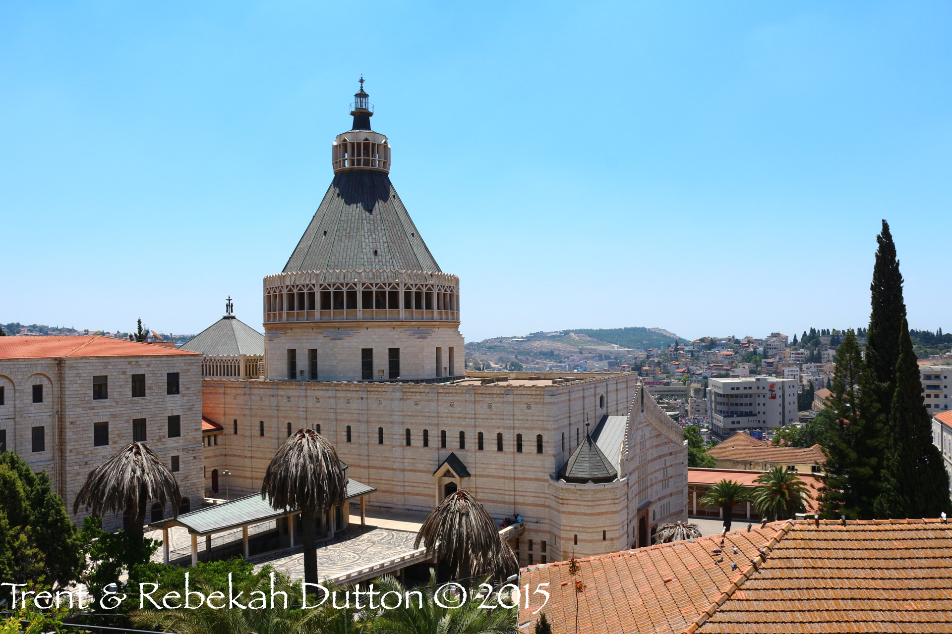
Last June, when our tour group was in Israel, we spent an entire day within the Old City. We started the day with a visit to the Temple Mount. Upon exiting the Temple Mount near the Lions Gate, we visited the ancient Pool of Bethesda.

Before leaving the area of the pool, I gathered our group together and explained to them that we were about to walk the Via Dolorosa. But, before we did that I wanted them to understand three things:

1) The Via Dolorosa makes the assumption that the Praetorium (John 18:28) was located in the Antonia Fortress, just outside the Temple Mount on the northwest corner. It also makes the assumption that Golgotha was located in the vicinity of the Church of the Holy Sepulture. 2) Even if those two assumptions are true, keep in mind that the original, first century Roman roads were located several feet under the current roads. 3) My current belief is that Golgotha was probably located in the vicinity of the Church of the Holy Sepulture. However, I was not as convinced in the location of the Praetorium being at the Antonia Fortress.

After giving them this information, I encouraged them to enjoy the walk through the Old City, consider the things that they are seeing and to study the matter for themselves.

This week, PBS released a short video about the Via Dolorosa. Recent archaeological findings are casting additional doubt on the current path that it follows. I encourage you to watch it. I tend to agree with the path that it proposes.

There is one other thing that I told my tour group last June. I told them that, in reality, our ability to walk the exact path that Jesus walked isn't really that important. What is really important was that Jesus walked it for all of us.

New Geography Book

book32-1024x804As I have mentioned a number of times in this blog, I love good maps. Along with that, I love good drawings and illustrations that aid others in learning about the Bible. Therefore, I was thrilled when I received Leen and Kathleen Ritmeyer's latest book "Jerusalem - The Temple Mount" in the mail this past week. I learned about the book six months ago, when the publisher put a temporary hold on it. However, due to many factors including the response from avid fans who wanted the book published, the hold was recently lifted. I ordered it immediately and it arrived last week. (Full Disclosure: I was one of those avid fans!)

Readers of Leen Ritmeyer's blog will recognize the amount of interest and knowledge that he has for the area of the Temple Mount. His posts and drawings of that area are fantastic. Visitors to that area now are often confused by what they see and by what they can no longer see. This book helps cut through all of the confusion and creates accurate representations of that famous hill throughout history.

The book contains three primary chapters entitled "A Brief History of the Temple Mount", "A Walk Around the Temple Mount Walls" and "A Tour of the Temple Mount Platform". Each chapter is well illustrated and are easy reads for even those that are not well-versed in the area. I would love to take this book with me the next time I am there and use it as a personal guide as I walk around. (NOTE: Using it on the Temple Mount platform could prove difficult. Outside of the Koran, very few, if any, books are allowed there.)

For those of you who are looking for a great, hand-held book on this area, I highly recommend adding this to your library. My cost was $31, which included shipping from Israel to the United States.

To Leen & Kathleen Ritmeyer: Well done. Thank you for taking the time to do this.

Region Near Banias

DSCN0346 We know that King Herod built three temples to Caesar Augustus. One was at Caesarea Maritima, the second was at Sabaste and the third was in the region near Banias (Caesarea Philippi). Recent digs in this area have focused on this site at Omrit. Some archaeologists are considering the possibility that these ruins near Banias could be the foundation of the temple which King Herod built.

Walls of the Temple Mount

DSCN1275 King Herod was a terrible man. He did not even trust members of his own family and had them executed. But, he was a visionary and had very large construction projects. Even two thousand years later, his thumbprint is all over the country. This view of the southern wall of the Temple Mount still contains many Herodian stones. The Mount of Olives sits in the background.

Crucifixion

DSCN1428 The Romans were experts at crucifixion. A few years ago, a first century ossuary was found in Jerusalem. Upon opening it up, they found the bones of a crucified man. This picture, of a nail through an ankle bone, is a vivid reminder of how terrible of an ordeal it was.

Sycamore Figs

DSCN1531 There is hardly anyone that has not heard the story of the "wee little man" Zacchaeus and how he climbed up in the sycamore tree to see Jesus. However, most people in the United States associate a different type of tree with that story. The sycamore trees in the United States are different than the ones in Israel. Those trees are actually sycamore fig trees. Every year, their fruit is harvested and can be purchased throughout the land.

The Elah Brook

DSCN1571 As told in 1 Samuel 17, David went down into the brook in the Valley of Elah to gather stones to battle against the Philistine giant Goliath. In an ironic twist of fate, that same brook winds its way directly past the Philistine city of Gath (Goliath's hometown) about five miles to the west of the battlefield. It is a legitimate possibility that, as a boy, Goliath played in the exact stream where, many years later, his foe would gather ammunition which would eventually be used to kill him. This picture is of the dry river Elah wadi adjacent to the tel at Gath.