Viewing entries tagged
Paul

When Paul Left Caesarea

When Paul Left Caesarea

During the first century, the city of Caesarea was the Roman administrative capital for the entire region. King Herod constructed the second largest port in the world at Caesarea. It consisted of two "ports". The outer port is where many of the larger ships would be docked. Transportation to the outer port would take place via smaller boats which were docked in the inner port. 

The steps in this picture are from the inner port dock at Caesarea. During the first century, travelers would have used these steps to climb down from the dock to enter a small ship. This small ship would transport them to the outer dock where the larger ship would be located.

After the apostle Paul used his privilege as a Roman citizen to appeal his case to Caesar, he was loaded onto a ship and sent to Rome. It is possible that Paul used these exact steps as he left the city of Caesarea for the final time. 

Syrian Plain

syrian_plain Acts 9 relates the account of Jesus appearing to Saul on the road to Damascus. While traveling around noon, a bright light shined down upon Saul and those that were with him. Jesus spoke to Saul and instructed him to go to Damascus where he would be told what he needed to do. From this overlook on the Israel/Syria border, the city of Damascus lies about 25 miles to our northeast. Depending on the route Saul took, it is possible that he walked very close to here.


Are you interested in traveling to Israel? Join me this October for a 12-day Bible Study tour of this beautiful land. See the Israel Tour Page for an itinerary and pricing details.


Athens Acropolis from Mars Hill

Day2_AthenAcropolisFromMarsHill Yesterday’s view was from the Acropolis of Athens, today’s view is the Acropolis itself.  This view is from what is thought to be the Areopagus, where Paul addressed the citizens of Athens following his observation mentioned yesterday, of the cities religious inclinations.  Paul had a different message from what the inhabitants were accustomed to.

View of Agora in Athens, Greece, Temple of Hephaestus, and landscape Surrounding Athens

Day1_AthensLandacapeAgoraTempleOfHephaestus This week we move away from Israel to Athens, Greece and New Testament times.  This photo is from the Acropolis looking down into the Athens Agora or “meeting place.”  When on the Acropolis, one is reminded of Paul’s words in Acts 17:16 – “Now while Paul waited for them at Athens, his spirit was provoked within him when he saw that the city was given over to idols.”  From the temples of gods to altars and statues left behind even today, this city certainly had its share of deities to earn it this description.

This photo is also a good perspective on Athens’s setting in the hills of the Grecian mainland, with the hills in the background and the modern city surrounding the ancient sites.  The temple of Hephaestus is prominent in the Agora greenery.

2015 New Year Resolution

DSCN0042 Jonah was given an opportunity to do something for God. He was tasked with preaching to the people of Ninevah. He refused, ran the opposite way and boarded a ship to Tarshish.

Paul was also given an opportunity to do something for God. He was tasked with preaching to different cities in Asia Minor and points east. Paul accepted this responsibility and boarded a ship in Caesarea to fulfill his mission.

The attached picture is of a sunset over the Mediterranean Sea. No doubt, both Jonah and Paul saw a similar scene as they set out on their journeys. Jonah's journey ended in personal embarrassment and God's disappointment. Paul's journey ended in God's message being spread across the entire region.

As you begin 2015, resolve to accept God's requests of you without question. You can not predict the opportunities that God will present to you this year. Just accept them. Good will come from them.

You can also read 2013's and 2014's New Year's Resolutions.

On The Road To Damascus

On The Road To Damascus

file_zps0d471f14.jpg

In Acts 9, we read the account of the conversion of Saul. Saul had asked permission from the High Priest for him to travel to Damascus and bring followers of Christ back to Jerusalem. As you know, as he neared Damascus he saw a bright light and Jesus spoke to him. Soon thereafter, he spent some time with Ananias and was baptized. But, what do we know about his trip to Damascus? How far is it? Which roads did he take? Well, honestly, we don't know. The Bible doesn't give us that level of detail. But, we do know what roads were available during that time and can discuss the topic from that perspective.

The distance from Jerusalem to Damascus is around 150 miles. So, if Saul was traveling by foot, the trip would have taken about two weeks (give or take a few days). But, which path did he take?

Picture of me standing on the Syrian border.  The city of Damascus lies about 25 miles to the north on the ridge just behind me.The first option would have taken Saul east out of Jerusalem and descend to the Jordan Rift Valley via Wadi Qilt. (This would be the road that Jesus referred to in his parable of the Good Samaritan.) Once he arrived near Jericho, he would have turned north and headed toward Scythopolis (in the Old Testament, this city is called Beth-Shean). From Scythopolis, Saul would have crossed the Jordan River and proceeded north along the mountain ridge east of the Sea of Galilee (today, we refer to this ridge as the Golan Heights). From here, Saul would have traveled north toward the area of Caesarea Philippi where they would joined the Via Maris on their way to Damascus.

The second option, and the most likely option, is the northern route. From Jerusalem, Saul would have traveled north through the mountains of Samaria and arrived on the southern edge of the Jezreel Valley. As he crossed the Jezreel Valley, he would have joined the Via Maris which led toward the western shore of the Sea of Galilee in the Plain of Gennesaret. Following the northern shore of the sea, Saul would have passed Capernaum before heading north toward Caesarea Philippi and then on to Damascus.

After spending some time in Damascus, Saul headed back to Jerusalem. Most likely, along the same path on which he travelled some time earlier. If that is true, and as Saul approached the location where Jesus appeared to him, I wonder if he paused to contemplate how his life had changed since the last time he was there.

My would like to think that he probably did.

The picture at the top of this post was taken last September from the Israel/Syria border northwest of the Sea of Galilee. It is in this area where Saul would have traversed on his way to Damascus, which lies about 25 miles away. (NOTE: If you are reading this blog post from an email, you may need to click on the blog title to view the image in your browser.)

Water and Caesarea Maritima

Water and Caesarea Maritima

IMG_1828.jpg

I have always enjoyed the TV show M*A*S*H. As everyone knows, it was a 1970's comedy about a group of surgeons and nurses in the Korean War. The show wasn't just a comedy. It had great writers that were able to make serious points amidst all of the jokes. In one scene, Hawkeye Pierce (one of the surgeons) approaches a Korean woman who is leaving her village with a bucket.

Hawkeye: Where are you going? Woman: To get water from the spring about a mile away. Hawkeye: A mile away? Why are you walking that far? Woman: That's where the water is.

If you are like me, we take our access to water for granted. Including the outside spigots, I have seven locations around my house where I can turn a knob and out flows water.

Think about all of the major cities in the United States: New York, Los Angeles, Chicago, Tampa, Miami, St. Louis, San Diego, San Francisco, Portland, Seattle, Detroit, Boston, Washington DC, Houston. Why are those cities located where they are? It's simple: water. Even cities that are not located by large bodies of water, were founded in their locations due to water. (Ever been to the River Walk in San Antonio?)

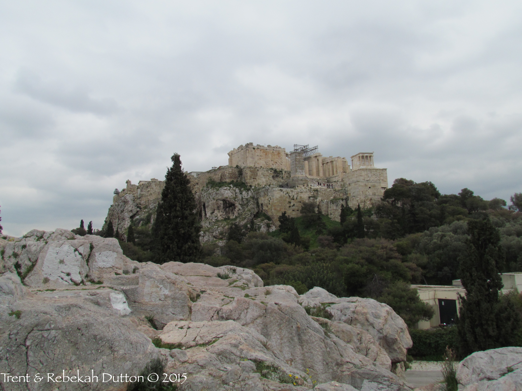
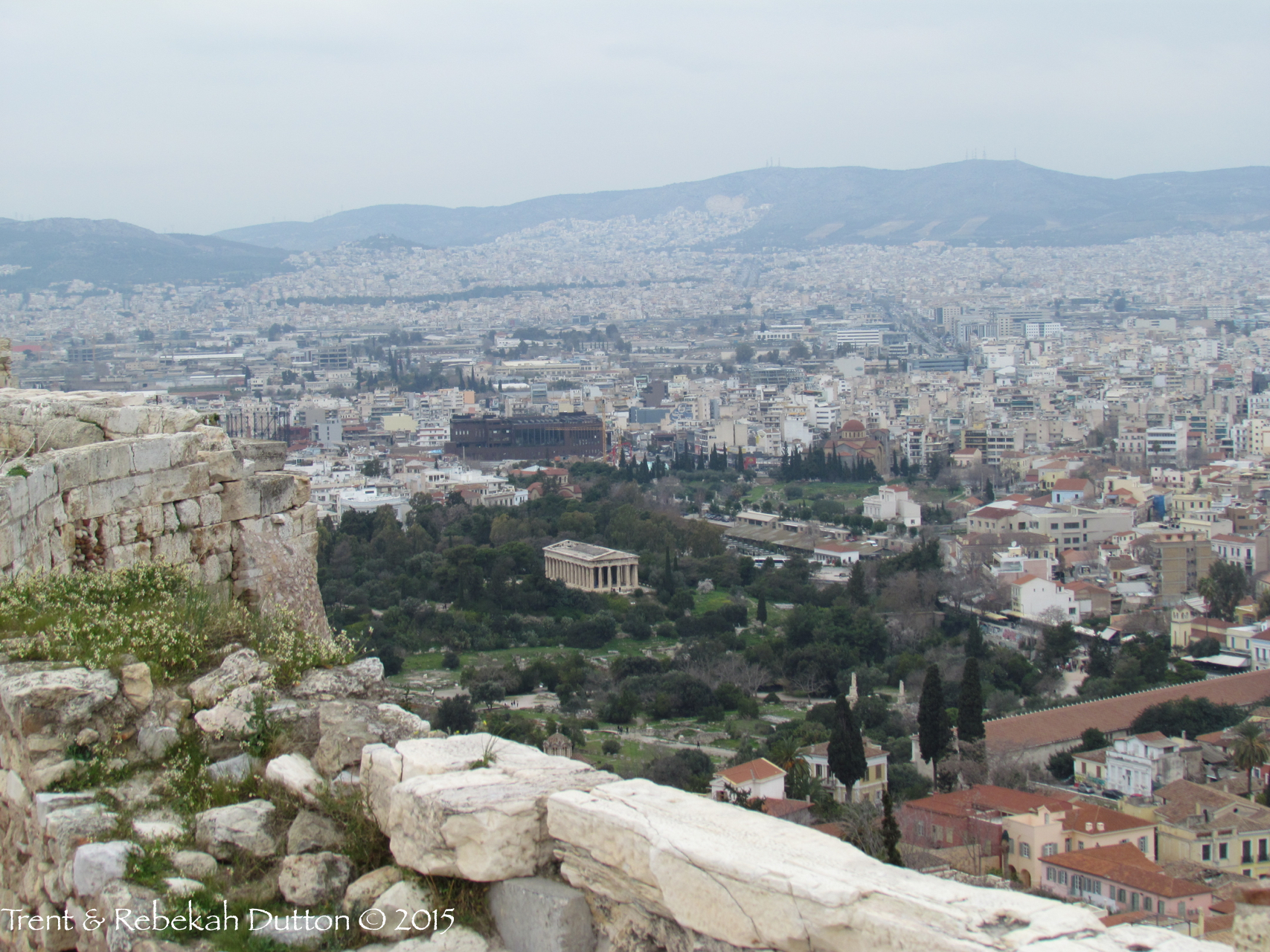
The same thing occurred in Bible times. Jerusalem had the Gihon Spring. Capernaum, Magdala, Tiberias, Bethsaida all had the Sea of Galilee. Caesarea Philippi had the (what we now call) Banias River.

Caesarea Martima was built in its location due to two things. A local spring to supply fresh water and the Mediterranean Sea to help with the economy. However, what happens with the city's population grows to a point so that the small spring can no longer sustain the people? (At the time of King Herod, Caesarea grew to be one of the biggest cities in the region, with a population of over 100,000.) Well, you have to get water from somewhere else. In the First Century BC, King Herod determined that the other location would be Mount Carmel, about seven miles to the north-northeast.

Mount Carmel, from the top of the theatre at Caesarea Maritima.So, how do you get water from Mount Carmel, seven miles away, to Caesarea Maritima? If you are King Herod, with basically unlimited resources and "free" labor, you build an aqueduct. Now, think about how this aqueduct had to work. There are no electric pumps. And, water doesn't flow uphill. So, the aqueduct had to flow downhill continually for seven miles. In many places the slope of the aqueduct is so indiscernible that you literally have to put water in it to determine that the water will flow. Like many of King Herod's building projects, the architectural mastery is amazing given their primitive tools and equipment. And, he built it so well that it transported water almost continually for 1200 years.

Since the aqueduct is never mentioned in the Bible, you may be wondering why this is important. It's important because it helps us to better understand the people and places of the day. I would guess that Cornelius and his family was very happy that King Herod built the aqueduct. As was Peter when he visited the city. And Paul when he was imprisoned there for two years. You can not live with out water.